 The Rim in Moab
We left Provo and headed southeast to Moab, an small tourist town situated between Arches and Canyonlands National Parks. Our campground was at the south end of town, situated under the cliff hundreds of feet high called "The Rim". Remnants of the active mining history around Moab lie scattered at this end of town, not the prettiest part. But we had views of not only the Rim, but also the 11,000 foot La Sal Mountains.
 Lizard in Canyonlands
But the jewels in the region are Canyonlands and Arches. We decided to go to Canyonlands first, given that we had maybe one and a half days of good weather, and there was farther to travel up to Canyonlands. This huge park was created in the 1960s, is divided into 3 parts: Island in the Sky, the northern part where we went, the Needles, some 65 miles south of Moab, and the Maze, across the Colorado from the other parts, and inaccessible to mere mortals. Island in the Sky is a large mesa, about 12 miles across. The canyons are some 600-2000 feet below the edge. Jeep roads provide access to the lower canyon, following the White Rim Trail around the lower mesa above the Green and Colorado Rivers, which join in the park.
 South Window Arch
The next morning, I cruised up to Arches, much older and more developed for tourism (more signs, parking, sites, etc. Arches is home to some 2000 natural arches, formed by unique geological processes. Some of the standing rock formations are just as impressive as the arches. I spent 3 hours and several rolls of film (just kidding) wandering around in the park. By the time I got to Delicate Arch, the icon on the other Utah license plate (the one that doesn't say, "Best Snow on Earth"), the sky was overcast and the light was completely flat and the rocks were more or less one dimensional. So I skipped the 1-1/2 mile hike up to Delicate Arch and took the long shot from the lower (read: Far Away) viewpoint, where a ranger intern was trying to impress us with facts about kangaroo rats (they drink no water...). I took one last drive inward to "Fiery Furnace", but given the opaque sky, the fire had gone out, so I went home.
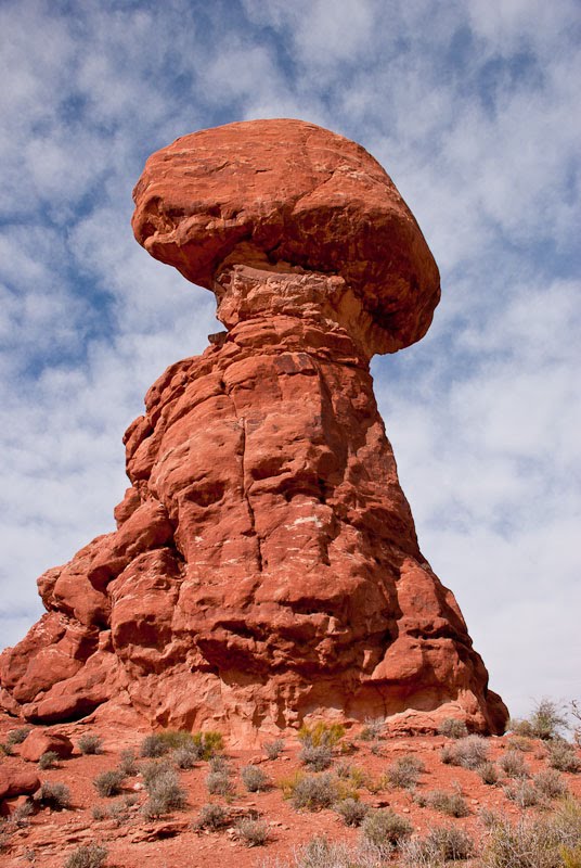 Balanced Rock in Arches
We considered staying another day in Moab, but the weather forecast was not kind, so we decided to pack it in and head for Colorado. We tangled with a balky slide awning, which is still attached but not playing nice, requiring a manual roll up and down whenever we want to put our main slide in or out.
We decided to take Utah 128, know to the Moab locals as "The River Road" and to the state as a Scenic Byway. And it was very scenic, following the Colorado River for some 40 miles surrounded by towering red rock cliff walls, canyons of infinite depth, and angry rapids here and there. We began to understand how awed Powell must have been when he made the first boat trip down through these waters some 150 years ago.
In the ghost town of Cisco, we turned right onto a road marked "Not State Maintained" for a 10 mile trip up to I70. The road was OK, but I did have second thoughts, and though it would turn to dirt around the next bend. We stopped at the I70 interchange for lunch, then headed into the Colorado hills.
 White Rim Trail and the Green River, Canyonlands
Coming in from the west, I70 is relatively flat until Glenwood Springs. Then the speed limit drops to 50 mph as the road winds through Glenwood Canyon for some 15 miles. After that, it works its way up along the Colorado River, then ascends up to 10,600 feet at Vail Pass. Our 360 HP Cat diesel took this in stride, if slowly.
Now we've been doing this RV thing for well over 5 years, and we've never been shut out at finding someplace to stay for the night. Consuelo uses Delorme Street Atlas, and we have several add on files with locations of Walmarts, Elks Clubs, Flying J Truck Stops, repair shops and the like. We had looked up a couple Walmarts which we figured would be OK for the night. The first one was in Vail. We looked, and looked, and looked, but there was no (visible) Walmart in Vail. The next one was at Copper Mountain, and likewise, invisible. Darkness was falling along with the temperatures. We were getting desperate. We finally cruised through downtown Frisco, and noted a Public Parking lot, which even had a sign stating "Over Night Parking Permitted". To soothe our worried souls, we had a great dinned in a good restaurant, Vinny's, and slept well that night, though our little furnace ran for much of the night keeping us warm. Due to our slide awning problem, we kept the big slide in, which reduce the heat loss. The morning low was 19 degrees.
We rolled back onto I70, climbing to the entrance of the Eisenhower Tunnel at 11,150 feet, admiring the snow covered peaks above us and the snow covered hemlocks below us on the hillsides.We then started the 60 mile descent into Denver. Down, down, down. We are definitely over the hill now.
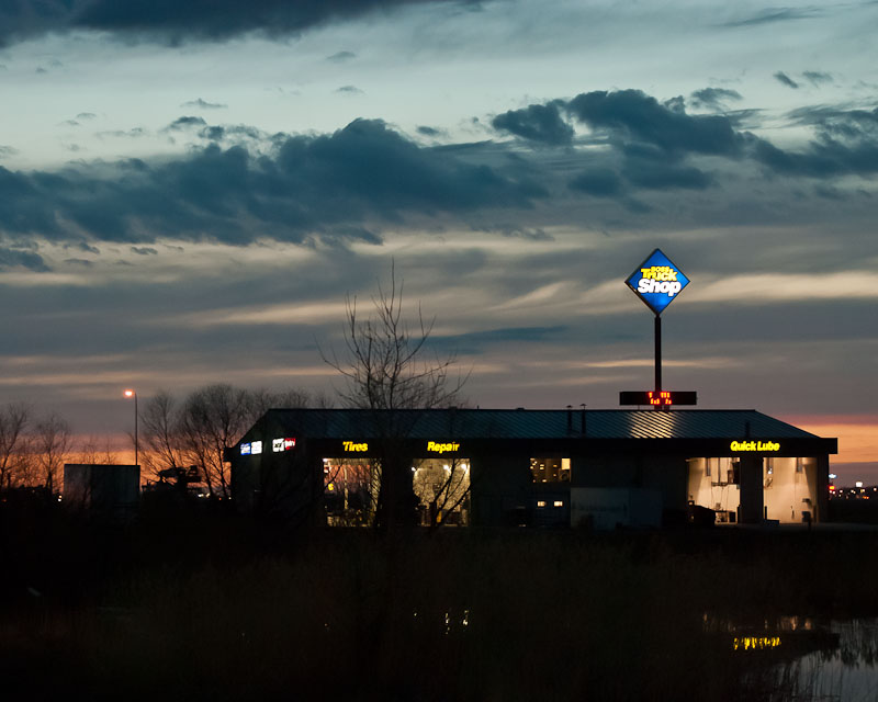 Sunset at the Flying J in North Platte
After the red cliffs in Moab, Glenwood Canyons, the foamy Colorado, the white peaks of the Colorado 14s, getting out onto the prairie east of Denver to North Platte, Nebraska was, ummm, boring. But it was warmer, and the fuel economy was much better. We stopped the night at a Flying J truck stop there, then rolled today to Lincoln, NE for a few nights.
The bad news as of the moment, our constant companion for 14 years, our faithful puppy Thumper, is in serious pain an almost unable to walk, and not eating fresh cooked chicken and rice. We're concerned.


